But at the first creek crossing we met Steve and Kristen, southbound hikers who had just navigated around the fire closure. They warned us that many of the creeks indicated on the map were dry, and showed us where to tank up. They also gave us a better idea of the elevation gain and loss (a lot) and the mileage (long). We laughed about how the reroute had replaced a 16 mile dry section with 8 miles of great water...and another 16 mile dry section (adding 8 more miles to our total).
We descended through the forest enjoying sunshine and blue skies. But the low rumbling whir of a fire helicopter overhead reminded us why we are hiking this lengthy reroute. And when we reached the Kelsay Valley, the air was thick with the scent of smoke. Smoke crept over the ridge and began drifting into the valley.
Stopping for lunch on a wooden bridge, we began to cook a hot meal. Our friends Northstar and Shutterbug soon joined us on the bridge, which was cooler and less buggy than the trail. They were celebrating Northstar's birthday, and we were happy to share the birthday celebration.
We stayed together as we continued to navigate through a small maze of poorly marked trails using the simple reroute map that we joked looked like had been hand drawn in crayon. We followed the directions and the map precisely, although in the end it became clear that it was neither the best nor the shortest route around the fire closure.
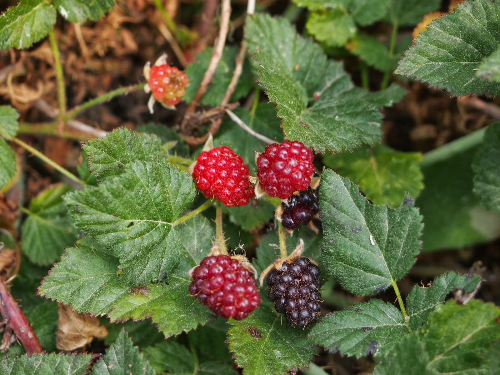
We climbed steeply past a patch of tasty, ripe blackberries. Then we turned onto a dirt road, where the limitations of our crude map quickly became apparent. We crossed many dirt roads that did not appear on the map, and at least one of the roads that did appear on the map was incorrectly labeled. Worse still, no one seemed to be able to locate one of the connecting trails, which the maps on our GPS units indicated did not exist (the maps showed a spur trail from the other side, but not a connecting one).
Thankfully, Kristen and Steve (who hadn't found the trail either) had told us about another dirt road that would connect us back to the PCT after the fire closure. Hiking on, we passed a couple from France who told us that a ranger had directed them to a trail that had dead ended in the woods. Frustrated, they decided to camp for the night and planned to follow the route Kristen and Steve had suggested in the morning.
Dusk arrived, and dragonflies swooped around us in great circles, feeding on the mosquitoes buzzing around our heads. Spotted toads crawled across the road. Sheets of lightening lit the night sky like fireworks on the fourth of July.
Shortly after we set up our tent, the sky opened and we heard the steady tap, tap, tap, of the rain hitting our tent. Thunder rumbled, starting with a dull roar and rolling across the sky with a sound like a large slow rockslide. Eventually the storm passed through and we fell asleep.


No comments:
Post a Comment